Over the
last decades, some surface waters (lakes, rivers) have become browner. Such
phenomenon was observed throughout Finland and is referred to as water browning
or brownification.
I have been
studying browning in the Evo area since 2019 when I first came to Lammi
Biological Station for a 2-month internship. I learned that browning led to a
decline in aquatic invertebrate global abundance in Evo, and started to wonder
about the impact of forestry activities practiced in the region on water
colour. 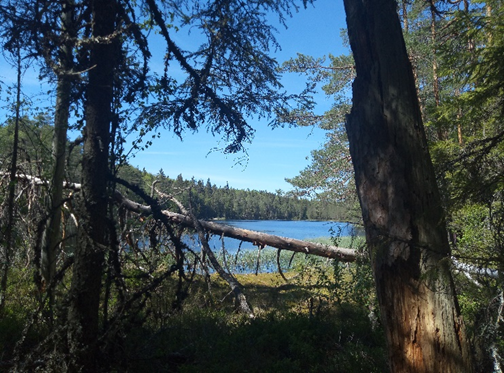
Lake Valkea-Kotinen, my favourite place
I decided
to come back in 2020 to carry on my studies on browning for my master’s thesis.
My purpose was to investigate the contribution of forestry activities to
changes in colour in Evo lakes and to highlight different aquatic invertebrate
communities along a browning gradient.
My stay at
LBS was very convenient and enjoyable as it is very close from Evo, where I had
to perform fieldwork. Fieldwork was definitely my favourite part of my study.
Evo is a beautiful area with its forest and lakes. I almost did not feel like I
was doing fieldwork since I was so amazed by the Evo landscape.
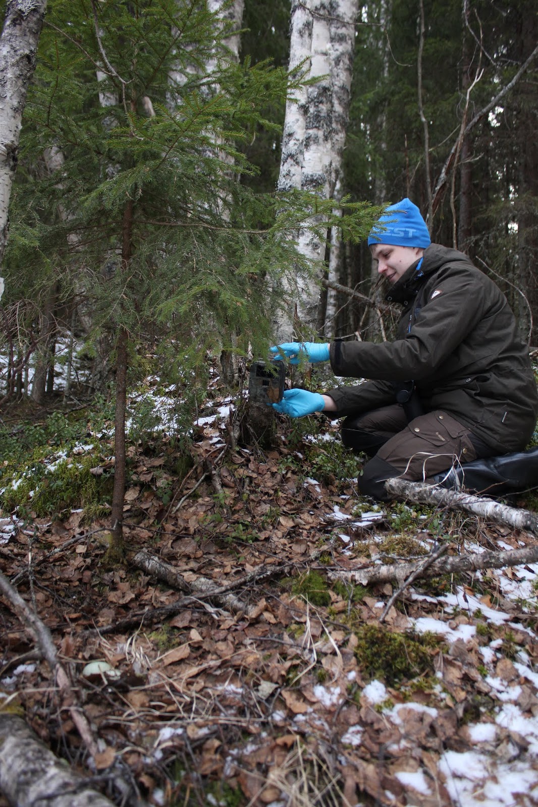
 |
| Figure 2: invertebrate sampling |
This
fieldwork session highlighted that Evo lakes had different invertebrate
communities as expected. For example, I found that copepods were negatively
affected by browning, while isopods had higher abundance in brown waters. Other
invertebrate families were affected by other environmental variables such as
trichopterans that were found in higher abundance in protected lakes.
In
parallel, I was also developing a method to identify clearcutting activity
based on tree canopy cover. With this method, I was able to show that a high
surface of clearcutting in the catchment of a lake led to high lake water
colour. This demonstrated the contribution of forestry practices to the ongoing
brownification of lakes.
Other
interesting results came out of this study. Beavers, for instance,
substantially affected lake water colour, which shows why their presence need
to be considered in water quality studies in beavers distribution area. This
study also demonstrated that lake cover had a significant impact on lake water
colour. The more upstream lakes a lake has in its catchment, the less coloured
it is. Adaptation of catchment management practices could be drawn out of these
results.
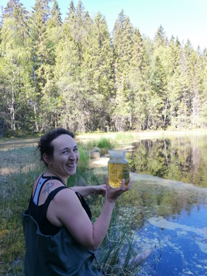 |
| More sampling |
I
successfully graduated in September 2020 in France and am in the process of
writing scientific papers on the findings in my master’s thesis. In Finland, I
found my vocation to carry out a research career. In June 2021, I will start a
PhD at Helsinki University on brownification. I want to thank the foundation
for supporting me throughout this journey in Finland.